Johannesburg, 1969. Hillbrow postal tower. [HH Kruger]
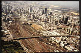
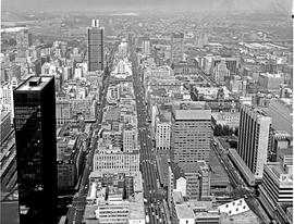
Johannesburg, 1970. Aerial view. [S Mathyssen]
Johannesburg, 1970. Aerial view. [S Mathyssen]
Johannesburg, 1970. Near corner of Smal Street.
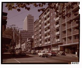
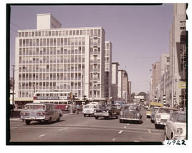
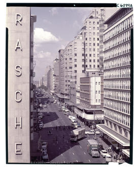
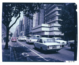
Johannesburg, 1970. Eloff Street.
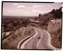
Johannesburg, 1973. Empire Road exit from M1 motorway. [S Mathyssen]
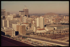
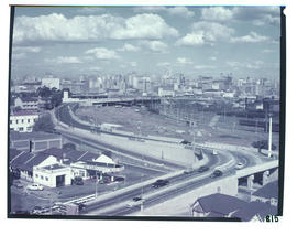
Johannesburg, 1973. City view with M2 motorway in the foreground.
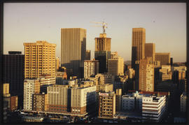
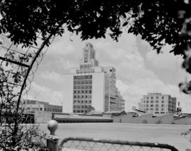
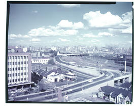
Johannesburg, 1973. City view with Carlton Centre in the centre.
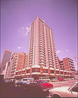
Johannesburg, 1969. Landdrost hotel. [Jan Hoek]
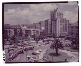
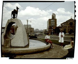
Johannesburg, 1965. Mutual Square.
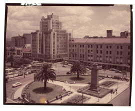
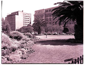
Johannesburg. Cenotaph at library gardens.
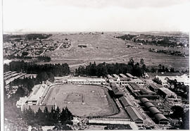
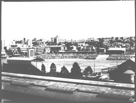
1939. Johannesburg. Old Wanderers sports grounds next to Park station
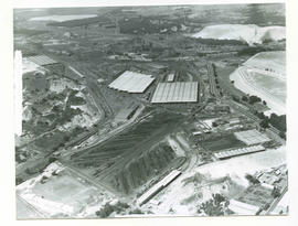
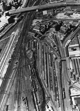
Johannesburg, 1961. Aerial view of Kaserne goods yard, from the west.
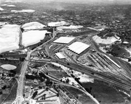
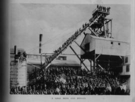
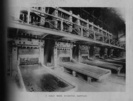
Johannesburg, 1957. Aerial View of diesel shops at Kaserne with surrounding mine dumps.
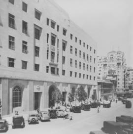
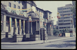
Johannesburg, 1935. Jeppe Street Post Office with parked cars in front of the building
Johannesburg, 1935. Jeppe Street Post Office with parked cars in front of the building
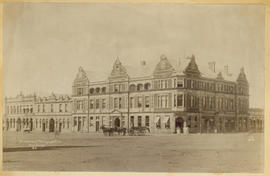
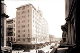
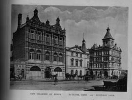
Johannesburg. Building of the Transvaal Mortgage Company.
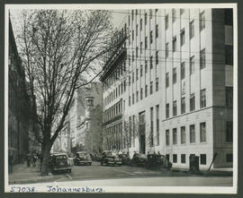
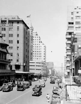
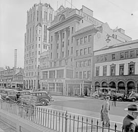
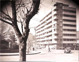
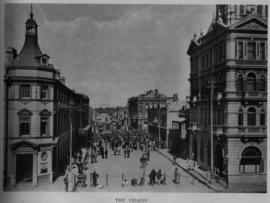
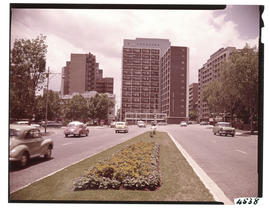
Johannesburg, 1950. Business street.
Johannesburg, 1961. Aerial view of Park station approach.
Johannesburg. Horsejumping at Wanderers. Stadium.
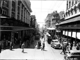
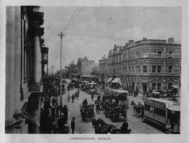
Johannesburg, 1935. Tram No 205 in busy street scene.
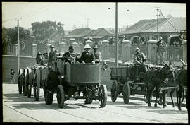
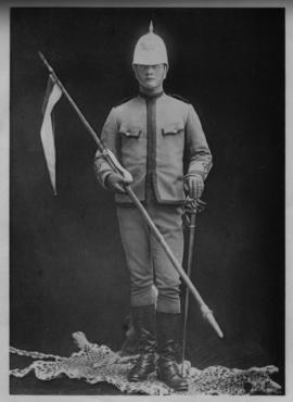
Johannesburg. SAR Dennis combustion tractor in Braamfontein, Frank Dutton with pith helmet co-driving.
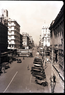
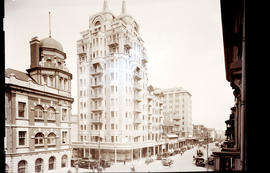
Johannesburg, 1935. Street scene.
Johannesburg, 1935. Street scene.
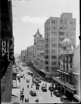
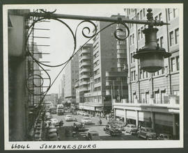
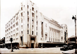
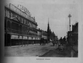
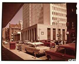
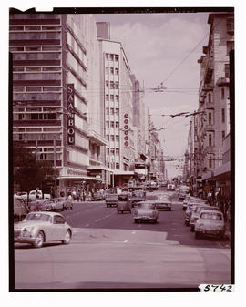
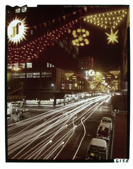
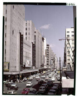
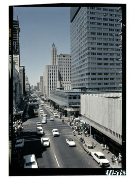
Johannesburg, 1957. Eloff Street.
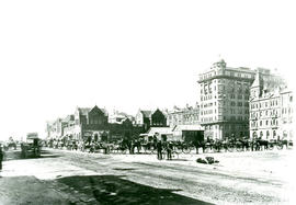
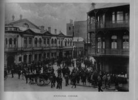
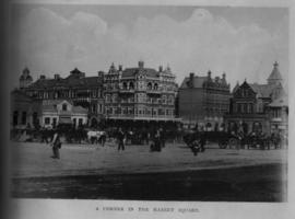
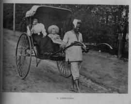
Johannesburg. Market Square with wagons and cape carts.
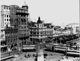
Johannesburg, 1938. City trams at Library Gardens. Note the Cenotaph.
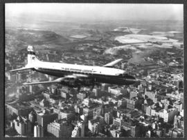
Johannesburg. SAA Douglas DC-7B ZS-DKE 'Reiger' in flight over city centre. See N64618. (See C9778 series for colour images).
Johannesburg. The 'Tollman Towers' building in city centre.
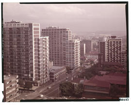
Johannesburg. Aerial view over Hilbrow.
Johannesburg. SAA building and Rotunda.
Johannesburg, 1982. Statue in Joubert Park.
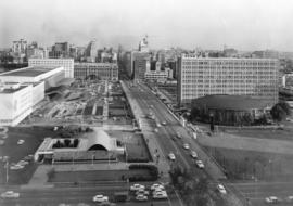
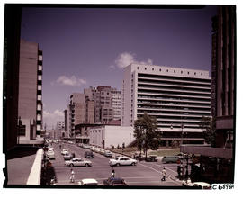
Johannesburg. View of city centre.
Johannesburg. View of city centre.
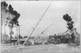
Johannesburg. Aerial view of railway marshalling yard en city centre.
Johannesburg, 1981. Decorated City Hall.
Johannesburg, 1964. View over business district with railway station, SAR Chapel and South African Airways Rotunda terminus in the foreground. GPS co-ordinates of the chapel are 26°11'43.9"S 28°02'28.3"E.


![Johannesburg 1966. View of Braamfontein with Jan Smuts Drive in foreground. [King]](/uploads/r/null/8/8/7/88742930c2de8b14d82615622bac20f6e6dfe2f55448c408f2ca16c6344f8584/CA_08328_142.jpg)
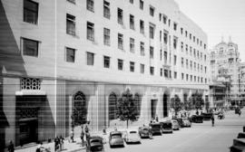
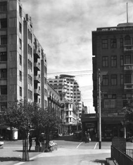
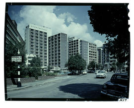
![Johannesburg, 1967. Von Brandis Street. [HT Hutton / S Mathyssen]](/uploads/r/null/9/1/5/915b28f940d0cc2f77d672918dff6ac3451aabd5fd9922c8676867efc3b70a29/CA_08390_142.jpg)

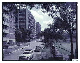
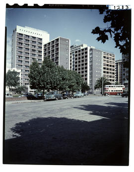
![Johannesburg, 1969. Braamfontein. [S Mathyssen]](/uploads/r/null/7/6/4/7642e2c49aeec2fe94764c5c3249e79e1e44453ec8e5aed24b1c92e270a06a51/CA_10192_142.jpg)
![Johannesburg, 1969. Hillbrow postal tower. [HH Kruger]](/uploads/r/null/b/0/c/b0cdf98bc75597e52f2b54b08a6386fe1af37556bf51879df0217b3ef51e8f9e/CA_10333_142.jpg)
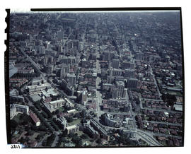
![Johannesburg, 1970. Aerial view. [S Mathyssen]](/uploads/r/null/e/d/0/ed060bd3b5ab79837e57022600e12748235ff92546b1f61ce6555a567afbf446/CA_10776_142.jpg)
![Johannesburg, 1970. Aerial view. [S Mathyssen]](/uploads/r/null/2/6/a/26a48953cb2b1b69fab1c4201753a728d7cfd9a680964ae9a0d387a9dc9e1167/CA_10777_142.jpg)
![Johannesburg, 1973. Empire Road exit from M1 motorway. [S Mathyssen]](/uploads/r/null/3/2/3/323baaa15252e97c29761b9ee9b3fa4cfa7142382921cc9efaf6f6bf0cee5ae1/CA_13024_142.jpg)


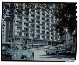
![Johannesburg, 1969. Landdrost hotel. [Jan Hoek]](/uploads/r/null/6/6/c/66cb6c09d091140644543b92e756113728f62518ce8f36dfcab59e10898b7603/CA_17040_142.jpg)